Our Services
Land, Engineering & Construction Surveying
We have in-depth experience across all facets of surveying and can assist your project from concept to completion using a range of modern technologies. Surveying Services include:
Topographic Surveys
Monitoring Surveys
Cadastral (Boundary) Surveys
Construction Setout
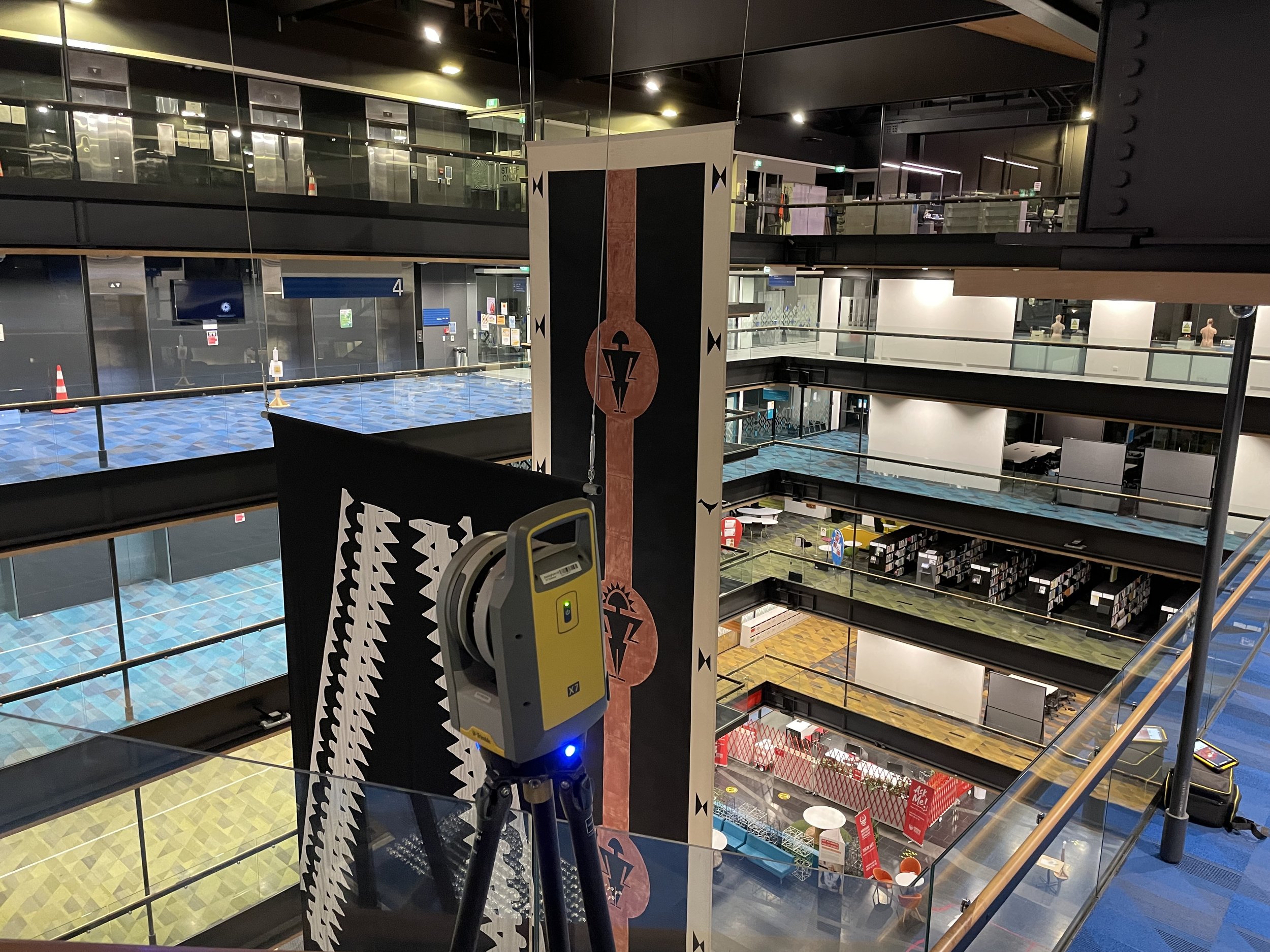
Laser Scanning
UAV Photogrammetry & LiDAR
Land Transfer & Subdivision

3D Modelling & CAD
Using our backgrounds in Civil Design and with access to a large variety of software, we can not only convert survey data capture into any desired 3d or 2d data format for use by Engineers, Planners or Architects, but also provide design modelling services in-house. Our Modelling & Design Services include:
Earthworks Formations
Ponds, Pads & Platforms
Roading
Stormwater & Utilities alignments
Comprehensive Asbuilts
Machine Control and Guidance / Avoidance Models

Digital Engineering
We understand the importance of metadata and utilising spatial models to encompass more than just coordinates. Further to our rapid data capture and 3D modelling services, we have a leading understanding of Asset Management Data Standards (AMDS) and Building Information Modelling (BIM).
We can deliver data and information in standardised formats allowing streamlined interrogation and downstream workflows for clients.